


About Us
Welcome to Antarik Space where we're unlocking the power of Earth observation and weather data to empower informed decision-making. Our journey began with a mission: to revolutionize how businesses and organizations utilize data from virtual satellite constellations and weather forecasts. We believe in the transformative potential of data-driven insights, and we're driven by the values of innovation, collaboration, and impact.

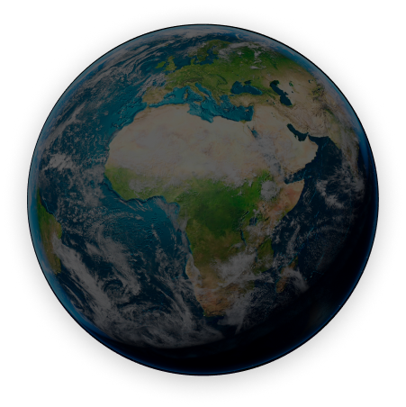
Global Coverage
- Global Insights
- Forecast Precision
- Constellation Reach

Expert Team
- Field Specialists
- Analytical Expertise

Technology
- AI Models
- Data Fusion
- Predictive Analytics

Solutions
- Agro Recommendations
- Weather Insights
- Sector Analysis
- Implementation Strategy

Experts In
Experts from various sectors (e.g., agriculture, urban planning, emergency response) who provide insights into specific use cases and requirements for decision support systems. Collaborate with the team to tailor solutions to meet user needs.
- Data Science
- Satellite Technology
- Meteorology
- Software Development
Solutions

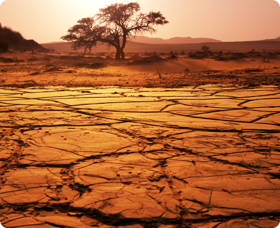
Environment & Agriculture
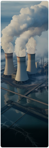
Oil & Gas ( Energy sector )

Urban Infrastructure

Finance & Insurance
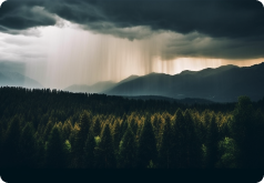
Climate Monitoring

Maritime ( Oceans )
Our Works
Process and analyze satellite imagery and other remote sensing data to monitor environmental changes, land use, and natural disasters. Develop algorithms and tools for image processing, feature extraction, and classification.
Manage geospatial data and create interactive maps and spatial analyses to visualize and communicate information effectively.


Digital Twin Model
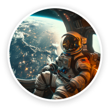
Space Intelligence
Plays a crucial role in national security, scientific exploration, and commercial activities in space. It involves various methods of data gathering, such as satellite imagery, signals intelligence (SIGINT), and human intelligence (HUMINT), to monitor and understand developments in space.
AntarikSpace
Contact Us
About us
- Home
- About Us
- Our Team
- Our Works
- Digital TD
Services
- Solutions
- Analytics
- Expertise
- Our Story
- Connect
Follow On
Connecting World Through Space
Copyright © 2024 Antarik Space | All Rights Reserved